


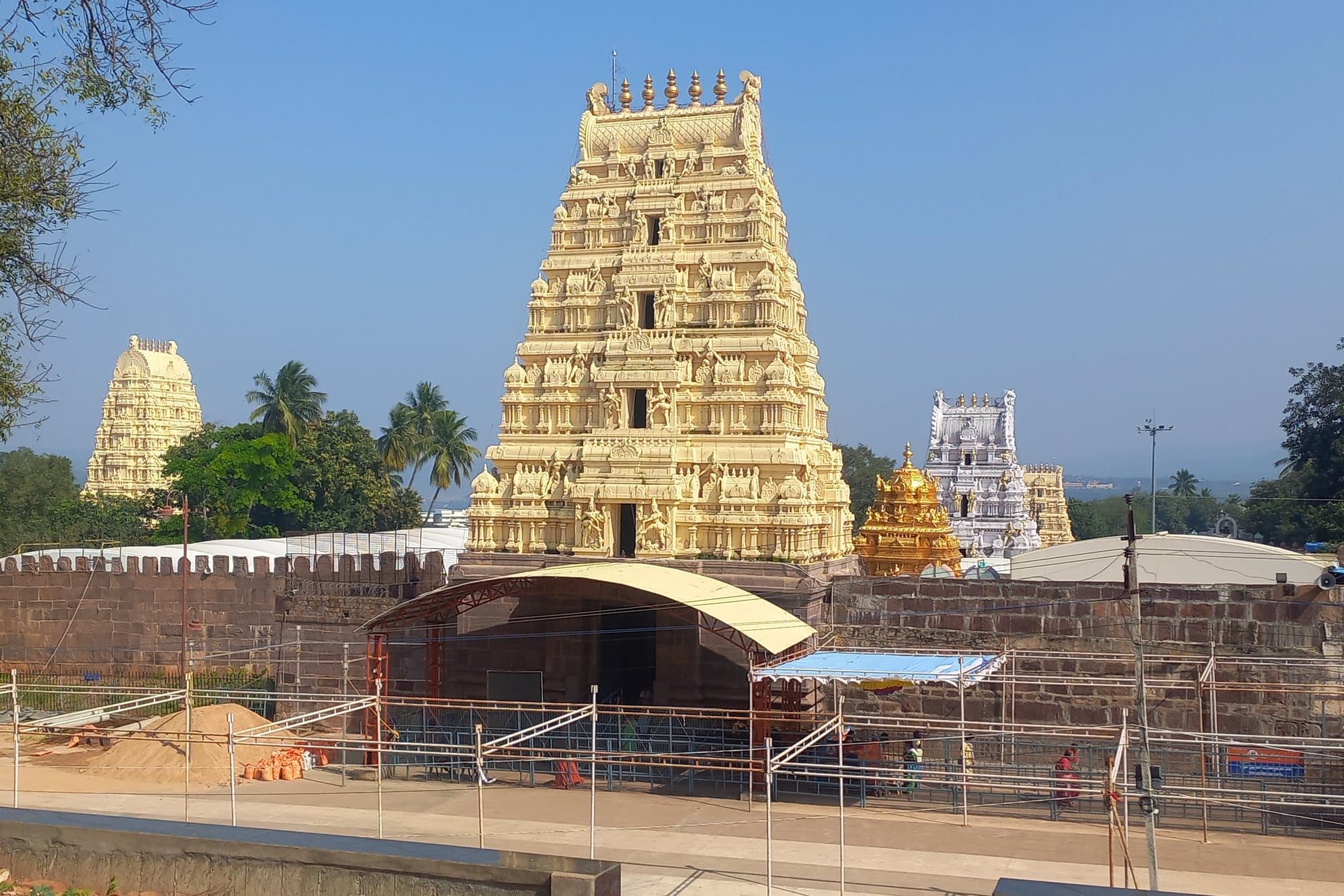
The full itinerary
Srisailam Jyotirlinga and Nallamala Trail, planned stop by stop
3 days, 2 nights through Srisailam. Everything you need, in one PDF on your phone.
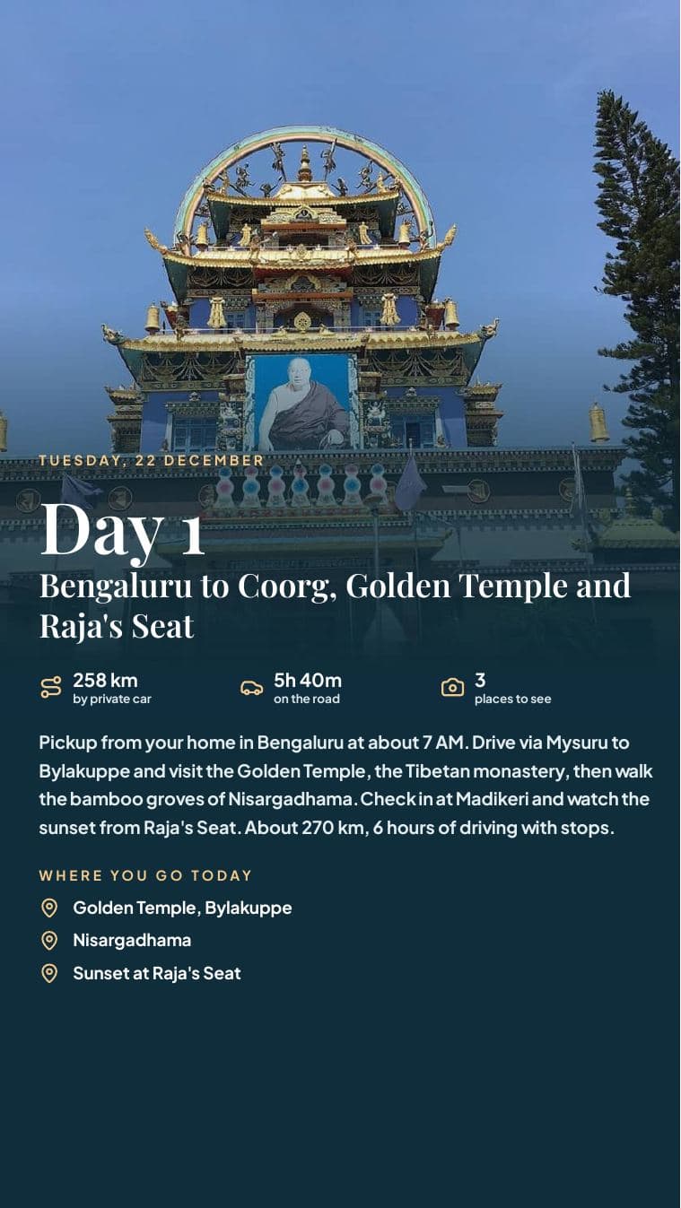

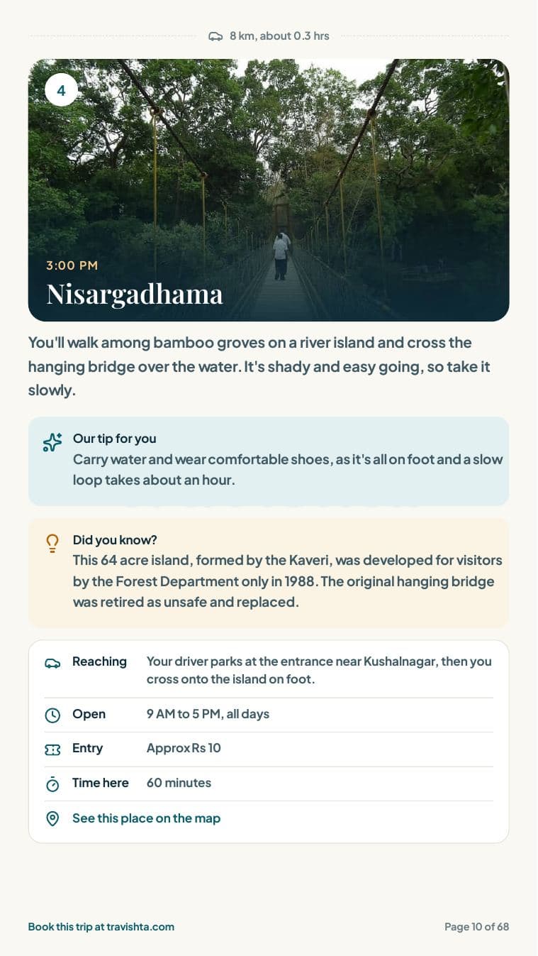
Real pages from one of our itineraries
What you get beyond the free day plan
A road map for every day
Numbered pins that match your stops.
Routes in one tap
Open each day in Google Maps.
Hours and entry costs
And which days each place is closed.
A rain plan
For every single day.
What to see
A photo and the story of each stop.
Where to eat
Named restaurants, what to order, cost for two.
Not so touristy
Quiet places, what to wear, what to buy.
Hotel options
With guest ratings.
If you need help
Hospitals and emergency numbers.
A taste from your trip
Octopus viewpoint over the Srisailam backwaters
A forest viewpoint on the Telangana side where the Krishna backwaters spread into the hills in long arms. Free. Stay behind the railings and keep food away from the monkeys.
If it rains: The forest ghat is slow and slippery in rain, and police sometimes close the Mannanur checkpost when landslides are feared. Your driver keeps the speed down and we skip the Octopus viewpoint if the view is lost in cloud. If the road is closed, we wait in Mannanur or turn back and tell you at once.